CS World Political Map – 10 Pc
₹50.00
Description
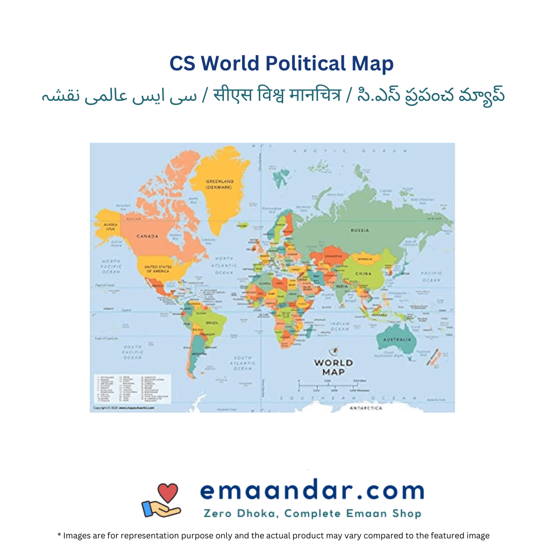
The CS World Political Map is a comprehensive and visually appealing educational resource that showcases the political boundaries of countries across the globe. This map provides clear delineation of all countries, their capitals, and significant cities, making it an essential tool for students, educators, and geography enthusiasts. Printed in vibrant colors, it highlights different nations and regions, enhancing visual learning and engagement. The map also includes important geographical features such as major rivers and mountain ranges, enriching the user’s understanding of world geography. Durable and easy to read, the CS World Political Map is perfect for classrooms, offices, or personal study areas.


Reviews
There are no reviews yet.