
CS India Political Map – 10 Pc
₹50.00
Description
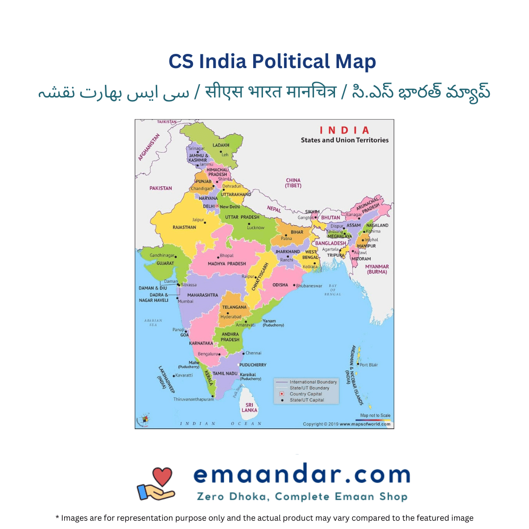
The CS India Political Map is an educational tool designed to provide a clear and detailed representation of India’s geographical and political boundaries. This map features all the states and union territories, highlighting their capitals, major cities, and important geographical landmarks. Printed in vibrant colors, it enhances visual understanding and makes learning about India’s diverse regions engaging and informative. Ideal for students, educators, and anyone interested in Indian geography, the CS India Political Map serves as a valuable reference for studying political divisions and administrative regions. Its durable material ensures longevity, making it suitable for classroom or home use, enriching knowledge about India’s political landscape.
Related products
-

-
Sale!
- Office & Stationery
Classmate Notebook – Unruled, Long – 172 Pages
- From ₹60.00
- Select options This product has multiple variants. The options may be chosen on the product page
-
Sale!
-

-
Sale!
- Office & Stationery
Classmate Notebook – Ruled, Single Line, Long – 172 Pages
- From ₹60.00
- Select options This product has multiple variants. The options may be chosen on the product page
-
Sale!


Reviews
There are no reviews yet.